
Franco-Italian path between lakes, torrents, fauna and flora.
By Frédéric A.
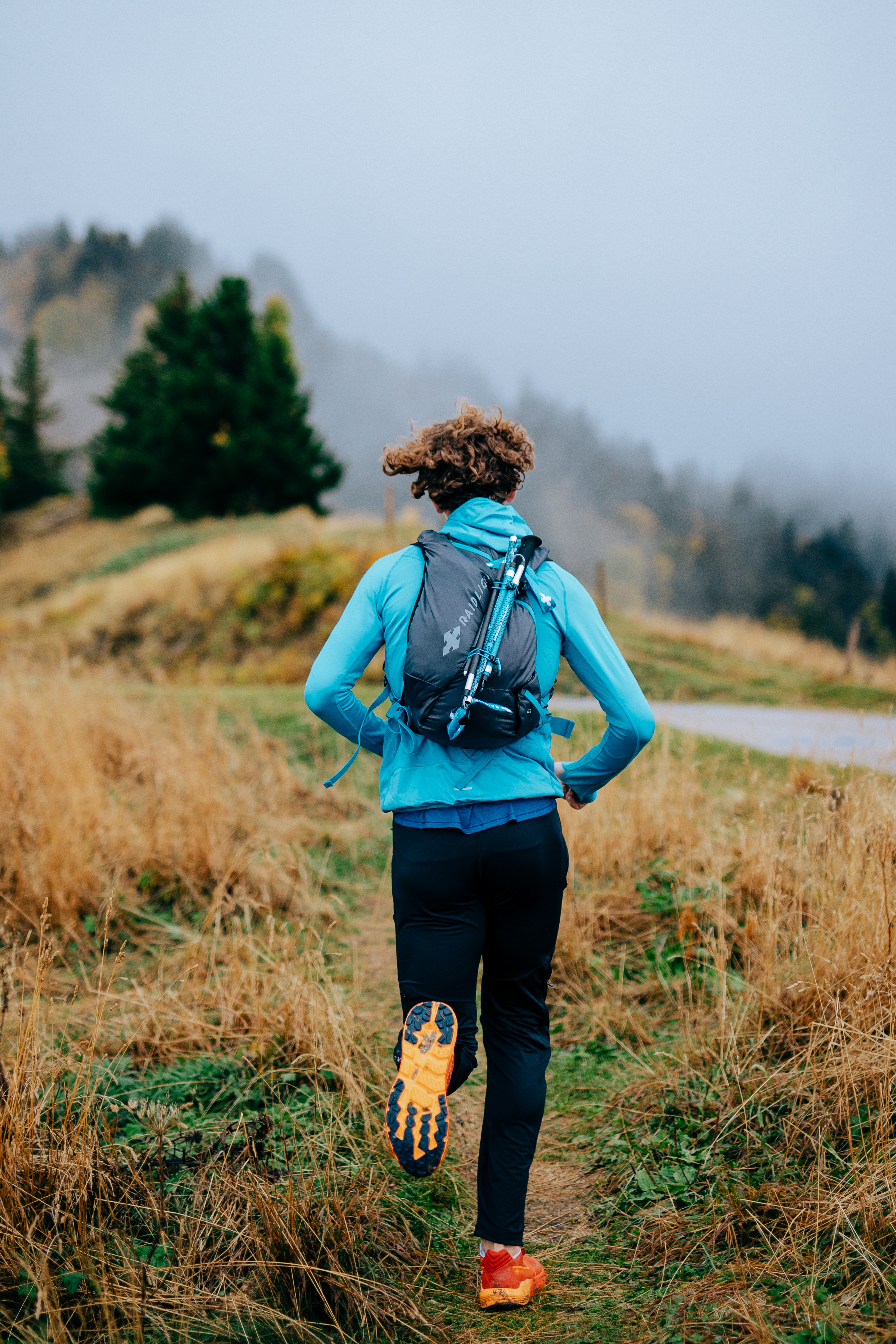
Copyright photo Florian Monot / Raidlight
- Distance 29.6 km
- Elevation gain 2110 m
- Elevation lost 2110 m
- Min. elevation 1543 m
- Max. elevation. 2704 m
- Duration (depending on pace) 5h à 11h
- Start from the Vens car park (b20) towards the Vens refuge (b25)
- Go left to the Collet de Tortisse (b35a) follow the white steps. Here we are on the Italian side, go to the Colle di panieris and continue straight on the GTA P32 (Italian GR)
- Join the colle di stau before a beautiful descent to the rio forneris
- Turn left to the iron pass (b35) Turn right to b34 and follow the signs for the hamlet of Pra.
- Once on the road, return to the starting point (on your left)
Groundhogs all along the lakes Chamois and ibexes regularly on the path.


the digital trails


![]()
Infos & contacts
Raidlight
Le Bourg
38 380 Saint-Pierre-de-Chartreuse
www.raidlight.com
xp@raidlight.com

