6 - Boucle trail du Grand Som
Add to my favorites

Route closed
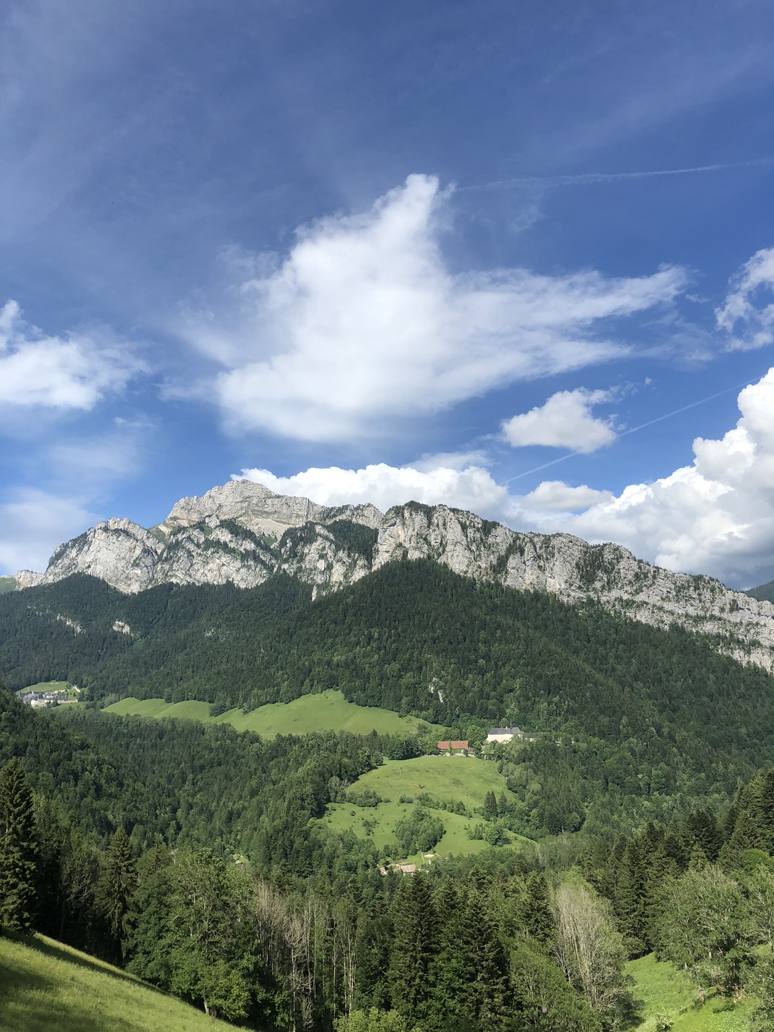
This 22.2km route offers a wonderful view on the mountain.
The characteristics of the route.

Raidlight / St Pierre-en-chartreuse (38)
- Distance 22.2 km
- Elevation gain 1670 m
- Elevation lost 1680 m
- Min. elevation 790 m
- Max. elevation. 2003 m
- Duration (depending on pace) 2h30 à 5h
Report a problem Add a comment
Add your time and share your feelings
Services nearby

Raidlight Outdoor LAB
St-Pierre-de-Chartreuse

Tourist Information center at Saint Pierre de Chartreuse
St-Pierre-de-Chartreuse

Hôtel Victoria
St-Pierre-de-Chartreuse
Gîte de Beauregard
St-Pierre-de-Chartreuse
Museum Arcabas in Chartreuse
Saint Pierre de Chartreuse


Follow us on
the digital trails
the digital trails


![]()
Infos & contacts
Raidlight
Le Bourg
38 380 Saint-Pierre-de-Chartreuse
www.raidlight.com
xp@raidlight.com


OK
Annuler